BAL (bushfire attack level) assessments are often required by Queensland local councils in a bushfire prone area for
- Material Change of Use applications
- Reconfiguration of a Lot applications
- Building approvals
Bushfire prone areas are identified in the bushfire hazard overlay within your local planning scheme.
Bushfire attack level is a graded assessment of the severity and risk for a building’s exposure to ember attack, radiant heat and direct flame contact. There are five different exposure classes ranging from 12.5 (very low risk) to FZ (extreme risk):
- BAL-12.5 – low risk
- BAL-19 – moderate risk
- BAL-29 – high risk
- BAL-40 – very high risk
- BAL-FZ – extreme risk
The higher the BAL level, the more restricted the building infrastructure is required, which can significantly increase the cost. Ratings of BAL-29 or higher typically involves significant building requirements.
Bushfire attack levels are assessed under Australian Standard AS3959-2009 – Construction of buildings in bushfire-prone areas, and BAL ratings can be reduced with firebreaks and fire management lines. It is important that a BAL assessor has a detailed understanding of local, state and commonwealth vegetation clearing laws in order to account for firebreaks and fire management lines.
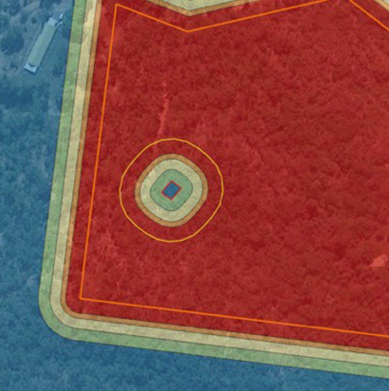
A BAL assessment should include a detailed mapping showing:
- The location of firebreaks and fire management lines
- The location of the different BAL zones in relation to the proposed infrastructure and/or building envelopes
Some planning schemes require BAL assessments to be included in a bushfire hazard assessments (BHA). A bushfire hazard assessment includes local details of fire history and behaviour in a macro and site context.
Some developments in bushfire pone areas also require a bushfire management plan (BMP) that are complaint with the local government planning scheme and the state planning policy – Natural hazards risk and resilience. Bushfire management plans take into consideration BAL ratings, macro and site context, environmental features, fire management lines and trails, water supply, access requirements etc. BMPS are also required to meet the local council planning outcomes and objectives.
For information on BAL assessments and bushfire management plans, please complete this form, contact our team on 07 4994 1000, or email us at admin@ecosure.com.au.
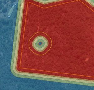
Example of bushfire attack level mapping with building envelopes and firebreaks.


