Services
GIS analysis & data visualisation
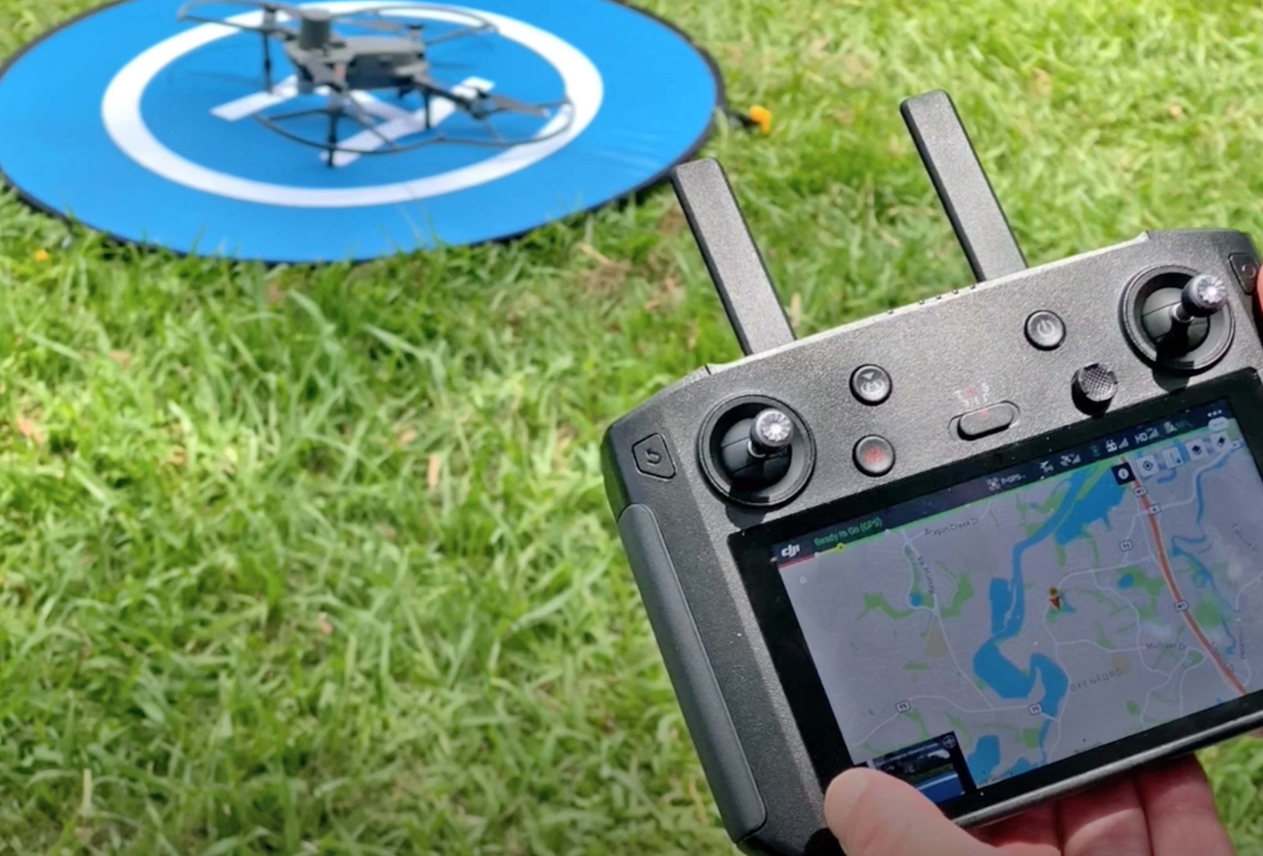
Ecosure uses multiple GIS software (ESRI ArcGIS, QGIS, GRASS GIS, WebODM, BlenderGIS, iGIS) to unlock location intelligence for its projects. GIS is used as the key component for Ecosure’s spatially-focused work and plays a critical role in almost all projects for data management and analysis. Ecosure also has several drones and CASA certified operators, which it uses to obtain updated high resolution aerial imagery, and to build 3 dimensional models for analysis.

Ecosure has led the way in experimenting and programming allowing us to supply cost effective GIS solutions to clients, as well as supplying support services and training for companies to develop their own GIS capabilities. Ecosure’s GIS consultants have environmental qualifications, and have been called upon as expert witnesses for GIS matters in determining environmental harm extent and significance in Queensland and NSW court cases.
Ecosure’s GIS services include:
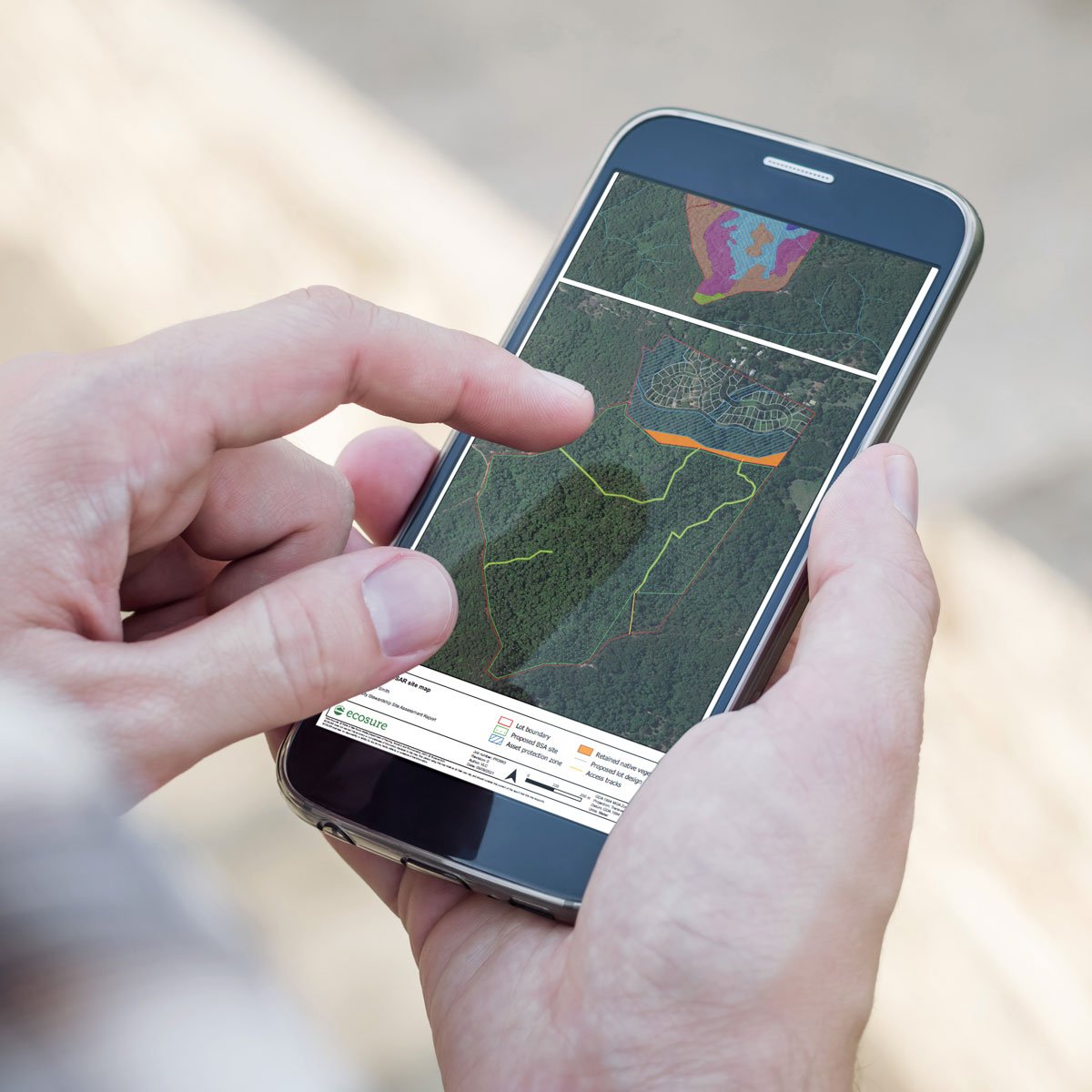
- Mobile mapping solutions
- Vegetation mapping via aerial image interpretation
- Drone mapping with 3D modelling
- Training, support and setting up QGIS spatial systems for companies
- Spatial modelling including potential habitat, species density and landscape permeability
- GIS and conservation planning training.


