Ecosure Harnessing Drone Technology for Environmental Assessments
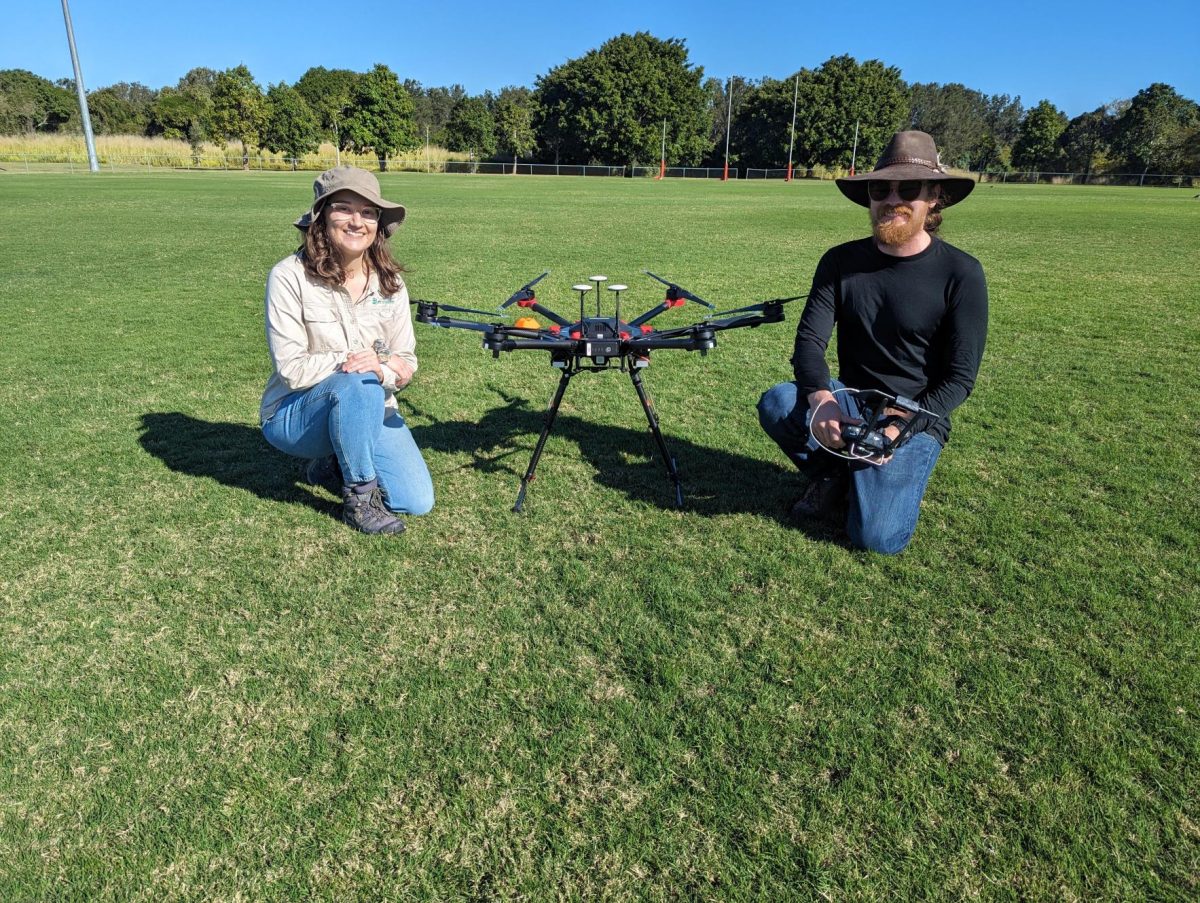
In today’s technology-driven world, drones have emerged as powerful tools across various industries. At Ecosure, they are embracing the potential of drones to revolutionise surveying operations. By utilising different modes of drone operation and providing training to the team, Ecosure is confident in elevating surveying capabilities to new heights and increasing efficiency, accuracy, and overall effectiveness.
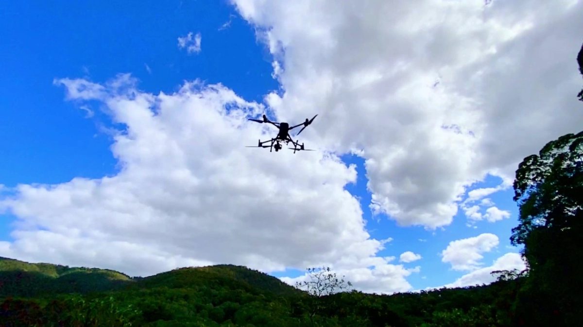
Drones also known as Remote Piloted Aircraft System (RPAS), offer numerous advantages in addition to traditional surveying methods. They allow users to cover vast areas with ease, providing a bird’s-eye view that captures detailed data from diverse environmental landscapes. Equipped with high-resolution optical cameras, LiDAR sensors, multi-spectral cameras, high-power spotlight and thermal imaging systems, drones are able to gather precise and comprehensive information for surveys.
The most common operation payload options.
- Electro optical payload: Repeatable photo points from GPS location. 2D/3D mapping missions to collect overlapping photos with GPS data. Using Algorithms/A.I. to stich these images together to create highly detailed maps and 3D representations of the landscape. High quality photographic/cinematic footage for promotional purposes.
- LiDAR Mode: By utilising Light Detection and Ranging (LiDAR) technology, drones emit laser pulses and measure the time taken for the reflected signal to return. Analysing these data points to generate precise elevation models, map vegetation density, and detect subtle changes in the landscape, facilitating efficient ecological assessments.
- Thermal Imaging Mode: Equipping drones with thermal cameras to identify variations in temperature across a given area. This mode is particularly useful for detecting heat anomalies in ecosystems and identifying wildlife.
Recognising the importance of effective drone utilisation, Ecosure has invested in comprehensive training programs for their team. By equipping surveyors with the knowledge and skills required to operate drones safely and maximise their utility, Ecosure ensure proficiency in drone piloting, flight planning, data collection and processing, and interpretation of drone-generated information. This training empowers the team to conduct surveys with precision, navigate regulatory requirements, and leverage the full potential of drones.
Drones enable surveys to cover large areas in a fraction of the time it would take using traditional surveying methods, giving a more comprehensive understanding from a landscape perspective. This increased efficiency also allows surveys to be conducted more frequently, monitor changes promptly, and respond to environmental concerns in a timely manner.
With drones equipped with advanced sensors, Ecosure obtain highly accurate and detailed data, minimising human error and subjective interpretations. This precision assists in making informed decisions based on reliable information, improving the overall quality of our assessments.
How will drones play a part in the future of ecological surveys?
Seqwater recently partnered with Ecosure and Endeavor Veterinary Ecology to help answer this question by comparing drone surveys and on-ground surveys for koalas and eastern grey kangaroos at Wyaralong Dam. The results suggest that drones are substantially better at detecting these species and capable of covering larger survey areas more quickly than on-ground methods. It was also found to be significantly more cost effective than comparable on-ground methods such as walked transects or vehicular spotlighting.
Collaborative projects such as this are essential in bridging the gap between academic literature and real-world biodiversity management. By sharing knowledge and competencies in this way our biodiversity and conservation assets can be better understood and ultimately protected, an outcome we can all benefit from.


