Development applications in Queensland involving a material change of Use (MCU), reconfiguration of a lot (RaL) or operational works (including quarries) that occur over areas identified as regulated vegetation (ie potentially involve clearing native vegetation are required to be assessed against the Queensland native vegetation code – Module 8 of the State Development Assessment Provisions (SDAP).
Copies of regulated vegetation maps, or a vegetation management report, are available free of charge from the following sites:
- http://www.dnrm.qld.goau/forms/land-property/vegetation-map-request (select ‘Regulated Vegetation Management Map’ or ‘Vegetation management report’ in the first drop):
- http://www.dsdip.qld.gau/about-planning/da-mapping-system.html using the SDAP development application mapping system (select SARA layers, Environment and Heritage, Native vegetation clearing):
The vegetation management report also has the advantage of identifying areas of high risk areas for protected plants, which also require further permits.
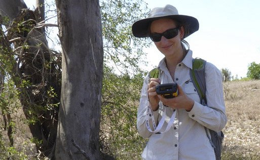
Prior to looking at development in an area containing regulated vegetation, it is practical to have the extent and type of the vegetation checked by a botanist, and then amended if necessary. This can often increase the size and number of lots in a development, and decrease the cost of any vegetation offsets.
Correcting the extent and type of the regulated vegetation can be achieved through a Property Map of Assessable Vegetation (PMAV) application with the Queensland Department of Natural Resources and Mines (NRM).
Ecosure’s environmental consultants have dealt with hundreds of PMAV applications and have the expertise to provide mapping and site vegetation data which will ensure any PMAV applications can assessed by regulators without the need for further information or delays.
Further reading on protected plants is available at:
http://ecosure.com.au/news/important-updates-for-evnt-protected-plants-surveys/
Property maps of assessable vegetation (PMAVs) are the mechanism for correcting vegetation maps with NRM.
Ecosure has developed a mapping system for property-scale PMAVs to correct mapping errors at the on-ground scale, resulting in significant increases in Category X areas. This method is cost-effective for landholders as it can be completed without a field visit by using aerial imagery. We can also provide detailed mapping to fix simple issues with PMAVs, or conduct site surveys for amending endangered, of concern REs and essential habitat requirements
Further details on property-scale PMAVs are available here
Contact: Geoffrey Sinclair 07 4994 1000


